
Track Kit: track embedding guide.
|
Track Kit allows you not only embed maps, but make interactive and extremelly informative presentations with your tracks and jorneys inside your web page or blog.
If you have ever been trying to figure out how to expose tracks to your readers, you have probably used a map. It was, probably, a Google map with KML track uploaded. If you just want to look up a location and elevation chart, you can use the Map to look at the street view, giving you an interactive image of exactly what you will see from the street, when you get there, so that your readers know what to expect. However, this is far from all that you can show your readers and visitors with Track Kit. First of all a track at Track Kit is fully interactive. You can navigate through waypoints, see images and even playback the track. We’ve added not only Google Street View but also Panoramio image layer. What happens if Google Street View information is unavailable? The answer is: Panoramio! You can explore all outdoor tracks with this powerful instrument even if a track doesn’t contain images. If a track contain images they can be shown in popup shown when you drag mouse over a waypoint. Users can also explore elevation and speed charts fully interactive with the main track. Just play with it on www.track-kit.net site! 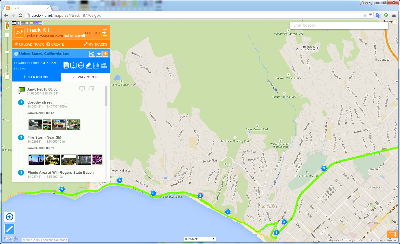 Figure 1. A track open in browser. Description and images on the left. 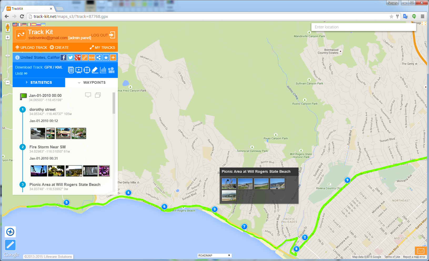 Figure 2. Popup window with thumbnails for aech waypoint. 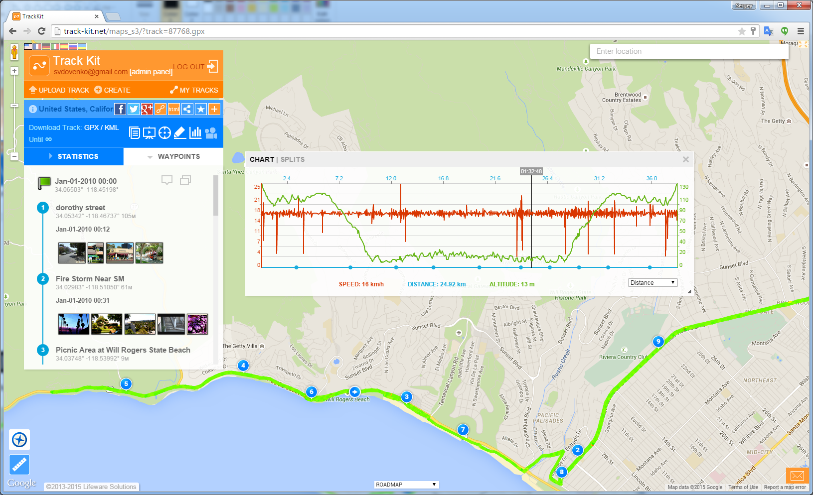 Figure 3. Speed and elevation charts. You can also embed a track on your website so that visitors can see it. Almost all functionality of the main web site will be available in embedded fragment. This is going to look like a regular track on a map at first, but people can click on it and move it around, and then they will realize that there is a lot of information there. It is far more than a simple map. To get HTML code just press sharing icon and select HTML. 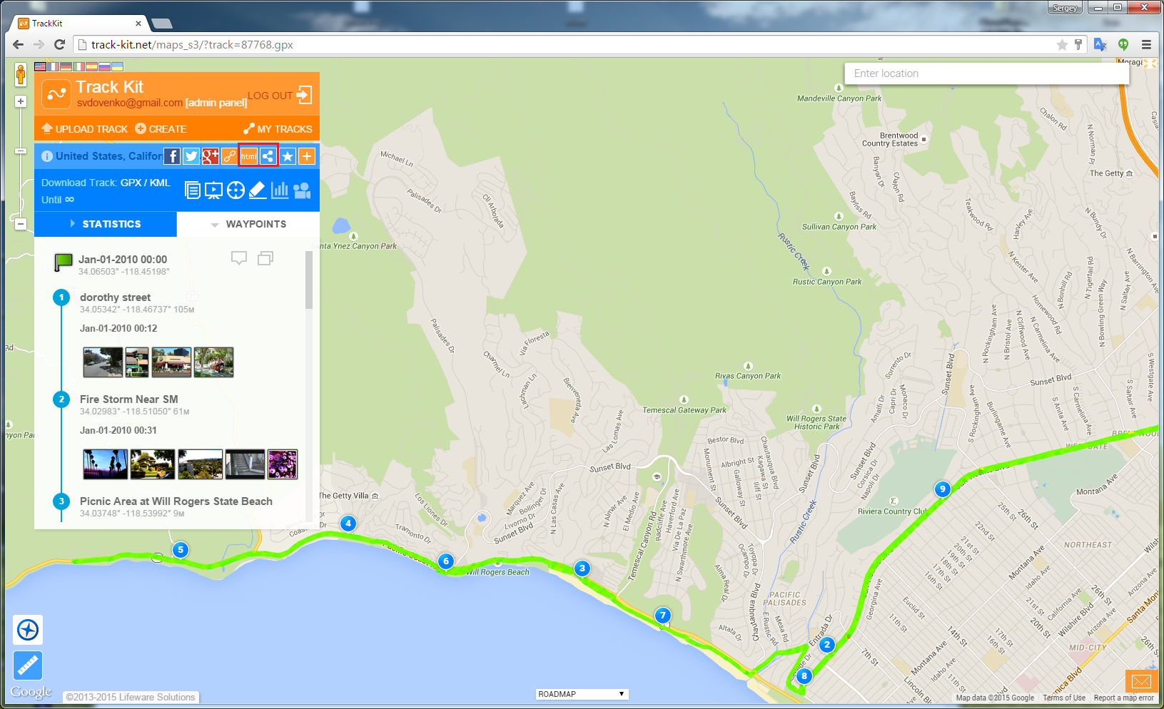 Figure 4. Sharing track as HTML iframe. 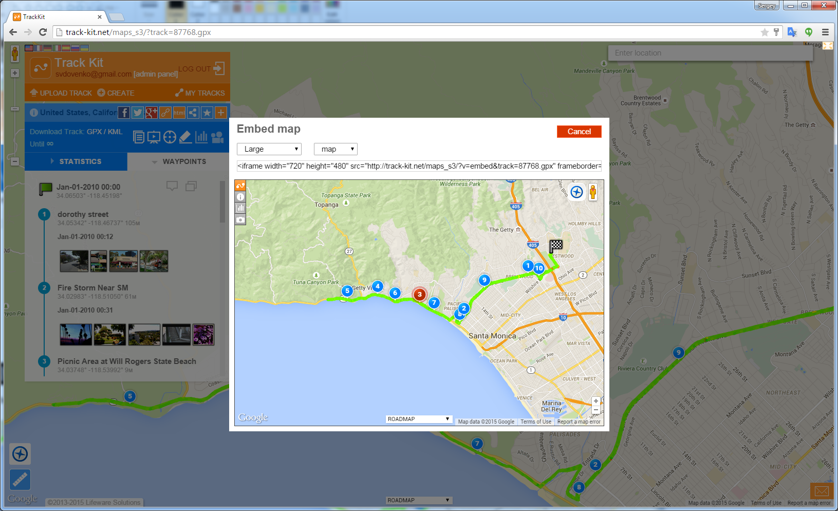 Figure 5. Ajust size of ebedded frame. As a regular track, embedded fragment shows track with waypoints and pictures. User drags mouse over waypoints and see images. There is also icon for street view at the place of a waypoint so reader can instantly access to panoramas if available. Panoramio layer and Street View are also available for the whole map area. People can explore the place, get more information about, interact with the map and get more impressions about your track! 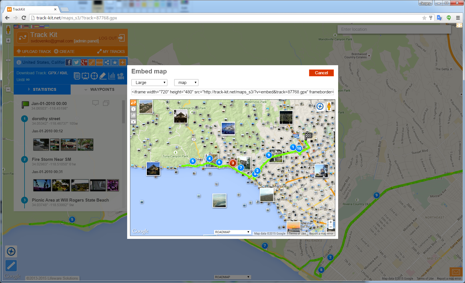 Figure 6. Panoramio images in the frame. 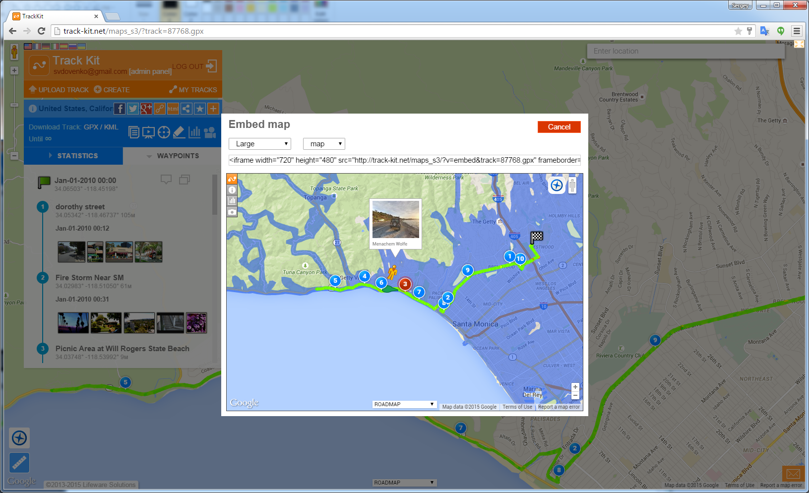 Figure 7. Google StreetView panoramas. 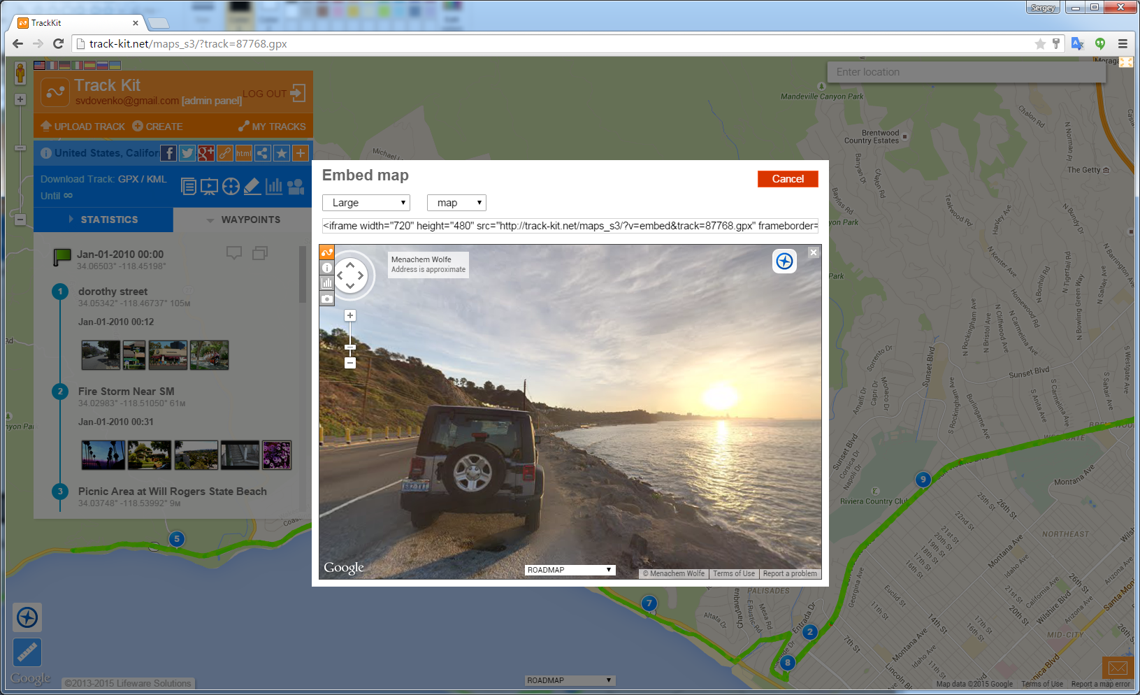 Figure 8. Panoram images can be expanded to the full frame size. 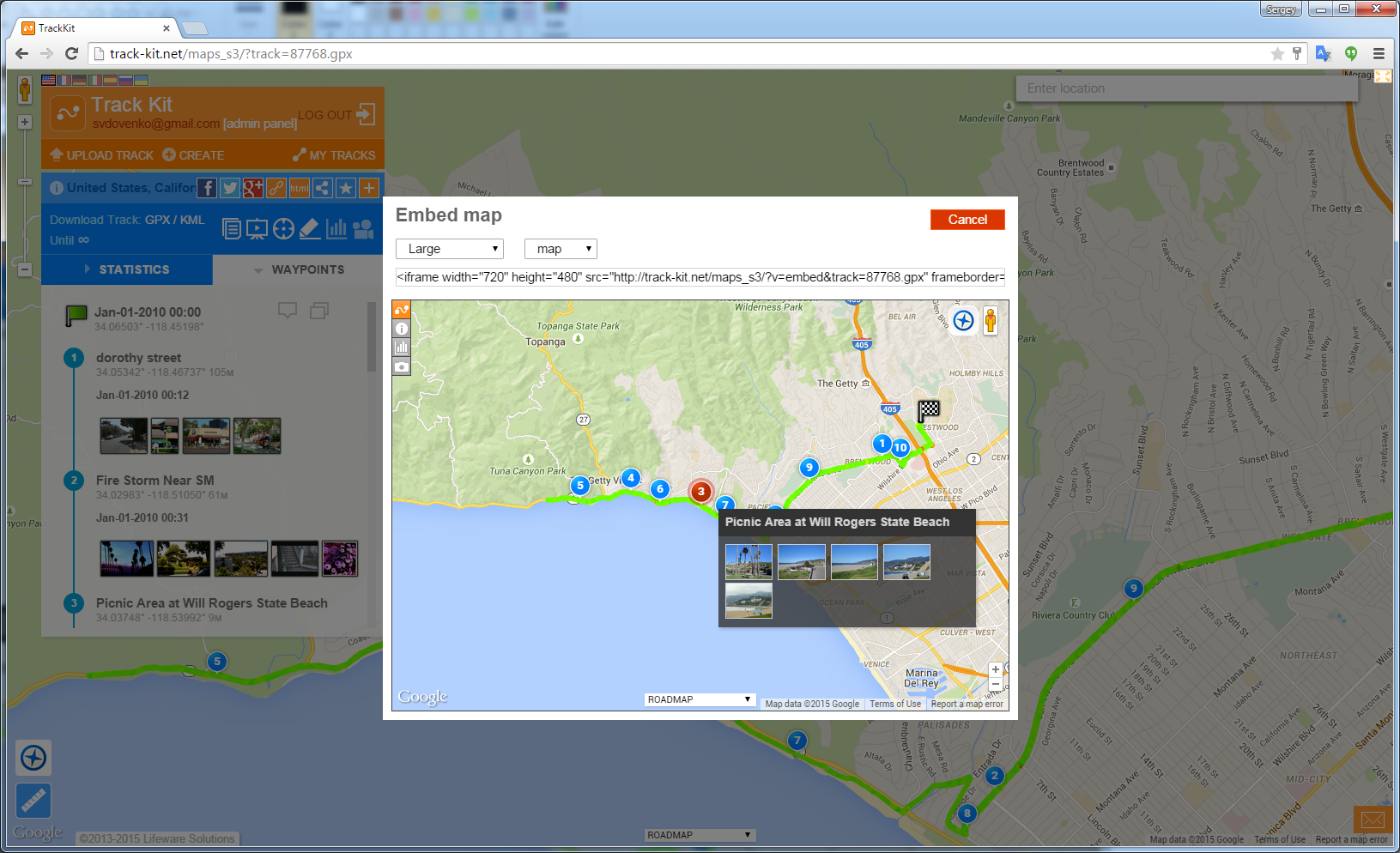 Figure 9. Popup with images inside the frame. Multiple map sources are also available for embedded tracks. Visitors can choose any map they find more convenient. Isn’t that great? 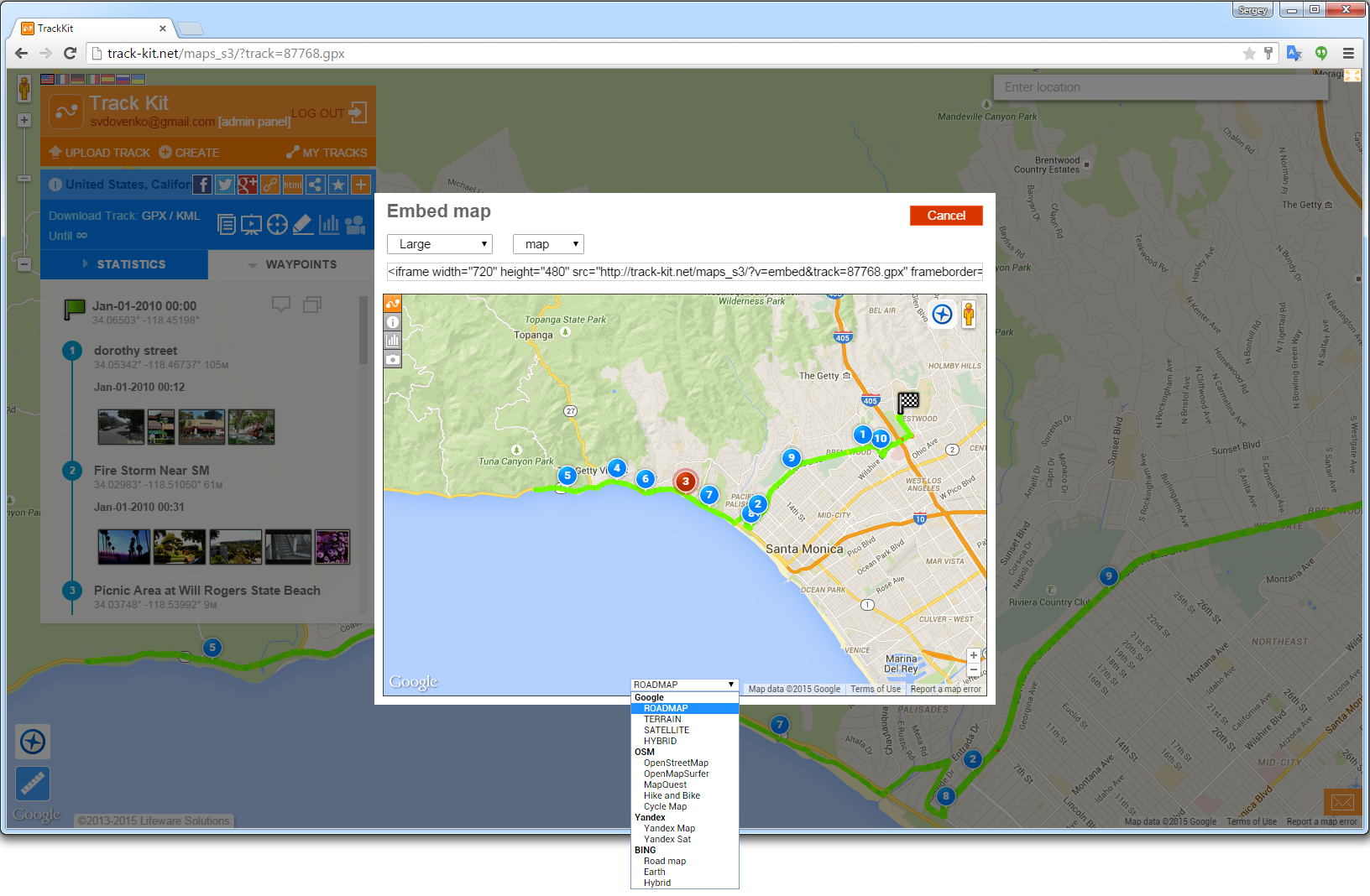 Figure 10. Change map sources rightin the frame. Embedded fragments contain rich track statistics and charts. Splits are also available. 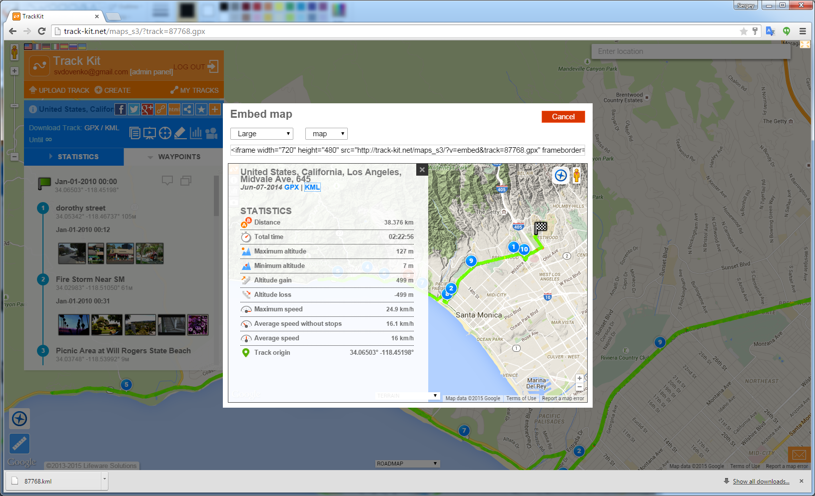 Figure 11. Track statistics. 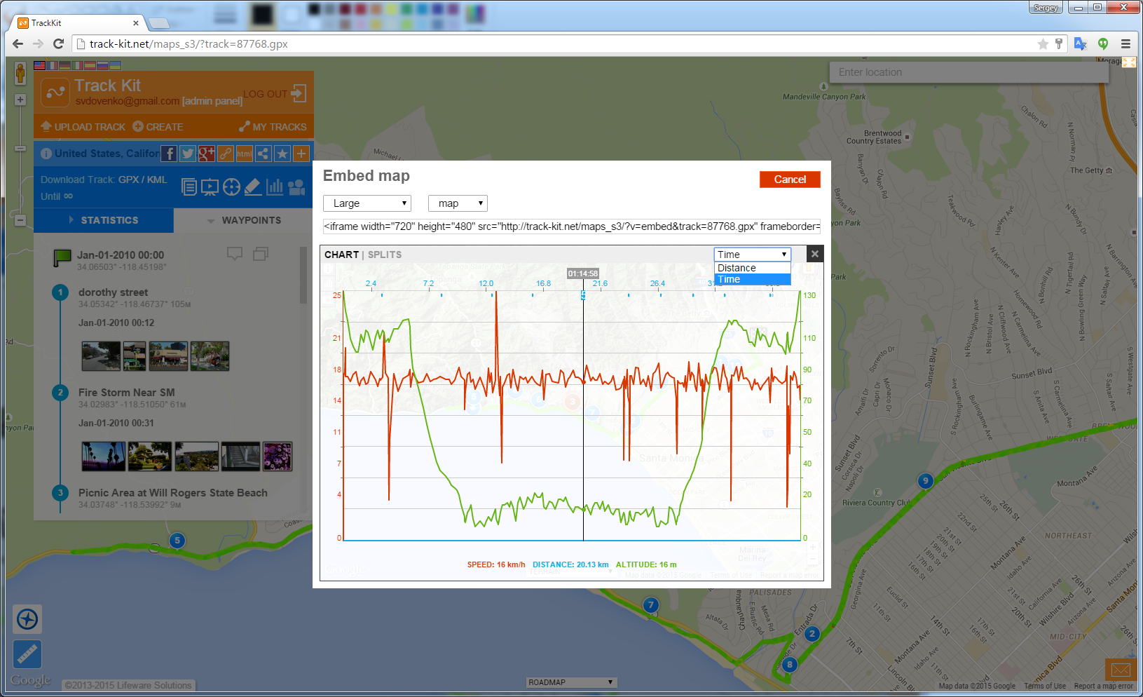 Figure 12. Speed and elevation charts. Image gallery is also there. As the main site, embedded fragment has image gallery so users can browse images or even open full-screen track presentation. 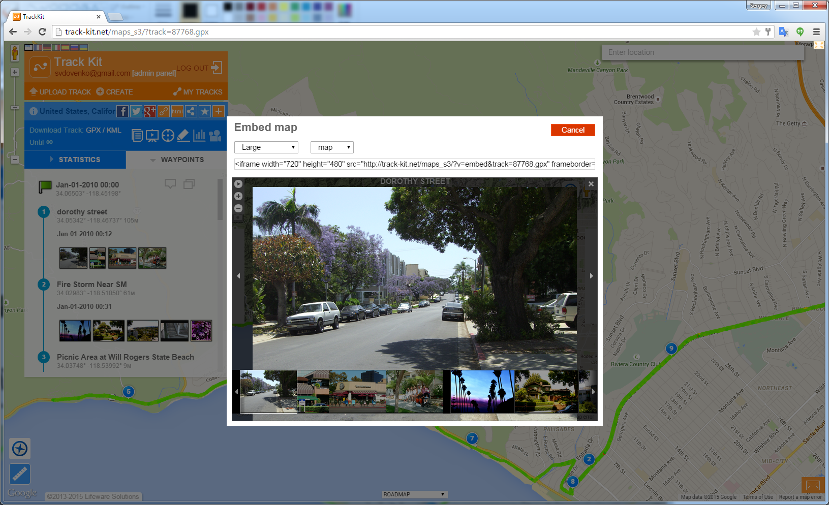 Figure 13. Image gallery. 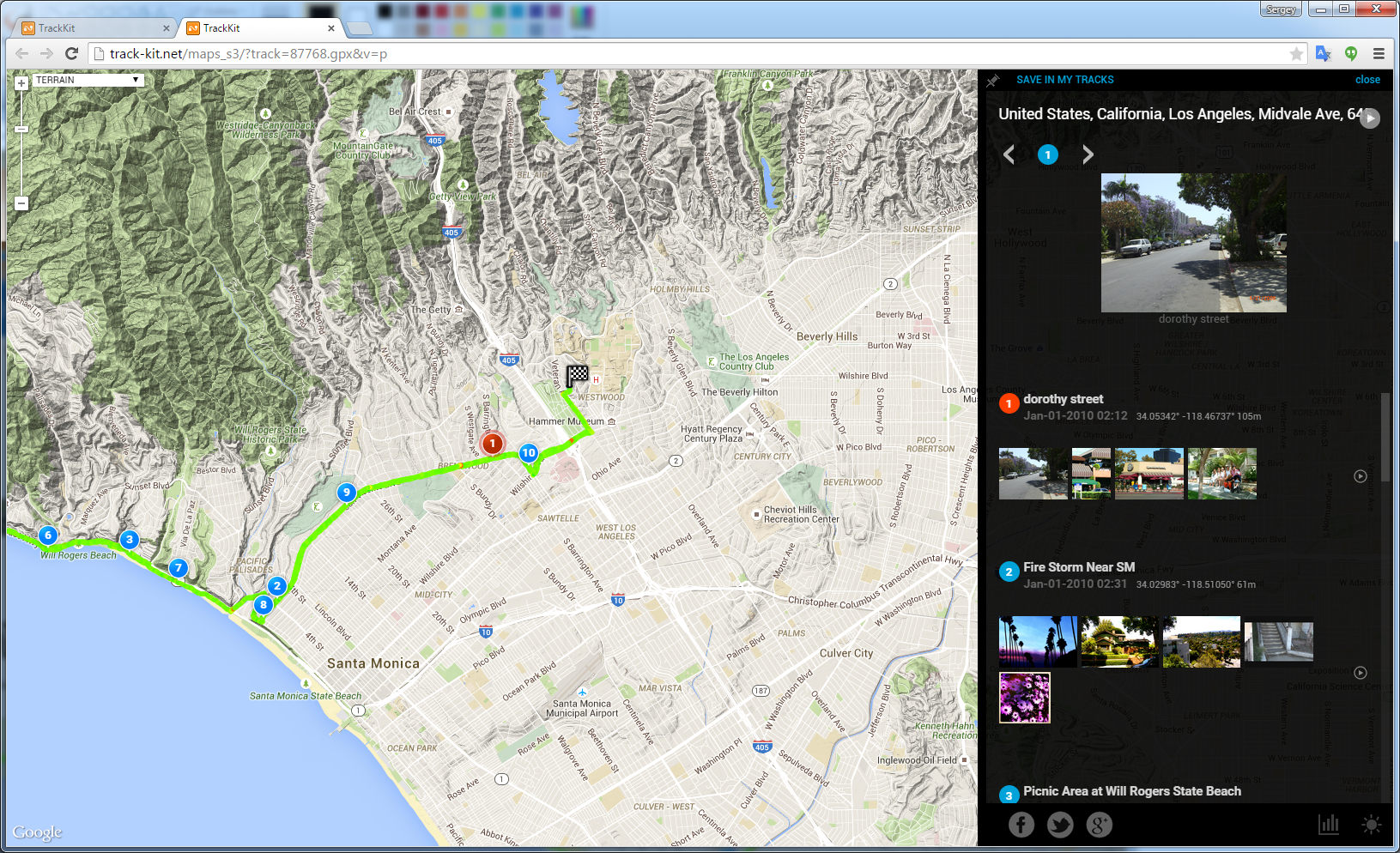 Figure 14. Track in presentation mode. Are there any features you wwould like to add to the embedded fragments? Your feedback and questions are very welcome at contact-me@track-kit.net |
| ‹Back to Track Kit web site. |